Where city, ocean
and forest meet

West End

Where city, ocean
and forest meet

Ask me anything about the West End! 🌲🏞

A cityscape harmonizing with nature

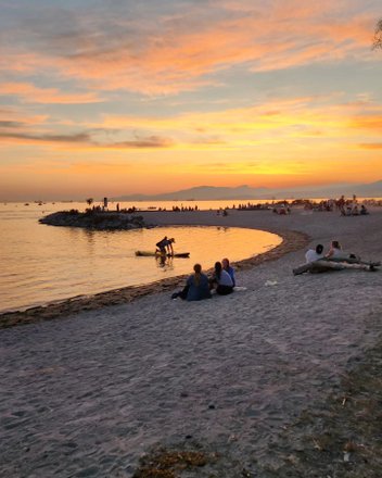
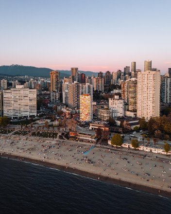
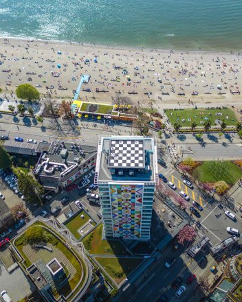
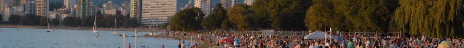
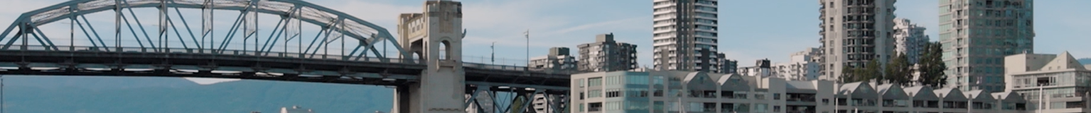
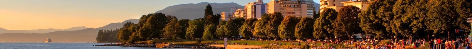
The West End is one of the oldest residential neighbourhoods in Vancouver — and, as the gateway to Stanley Park, for good reason. Locals and visitors alike can easily transition from the ocean, beaches, and forest to the city within blocks.
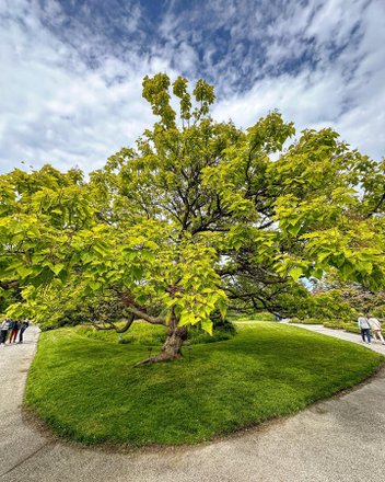
image

400+

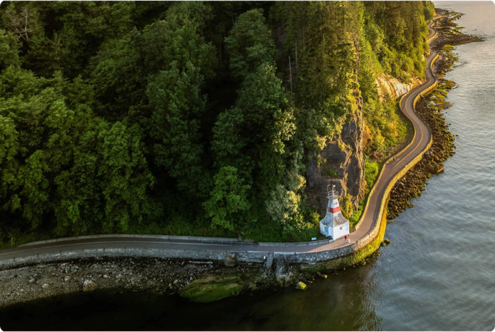
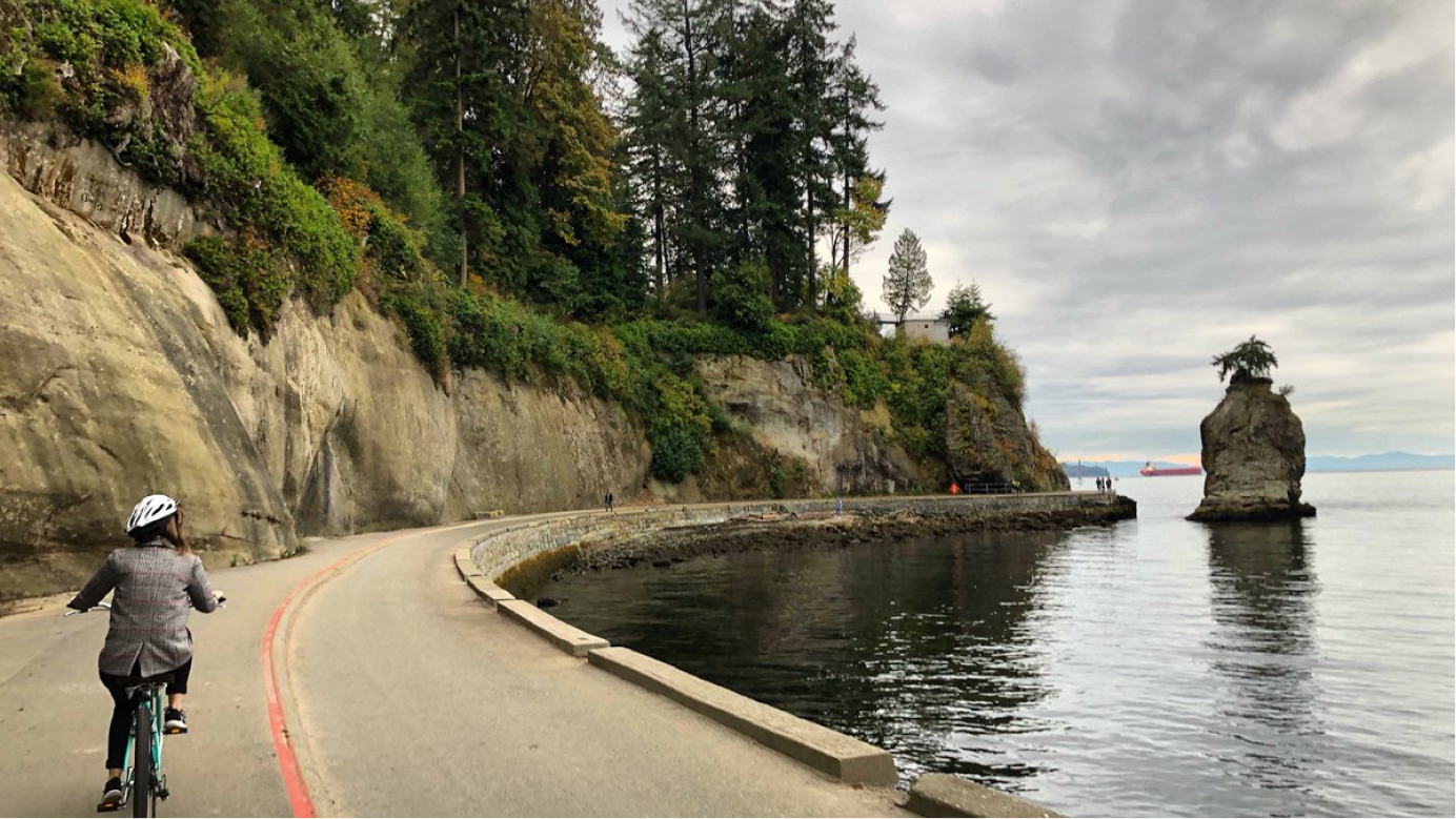
hectares (1,000+ acres) of old growth forest, walking trails, and coastline in Stanley Park. 

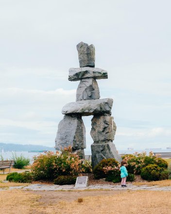
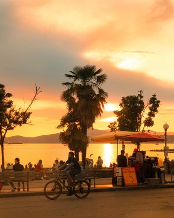
Within the West End, you will find the iconic Stanley Park, English Bay, and the hub of the city’s LGBTQ+ community — the vibrant Davie Village.

Stanley Park is wrapped by the world’s longest waterfront path, the Vancouver Seawall

image

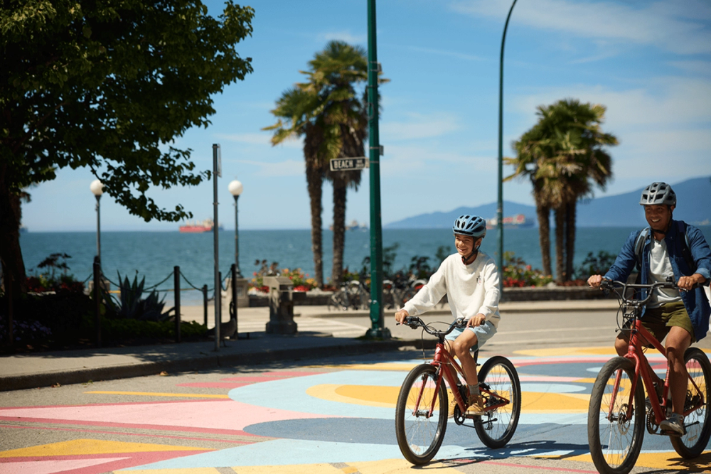
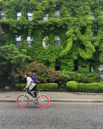
The West End offers a diverse and eclectic scene.
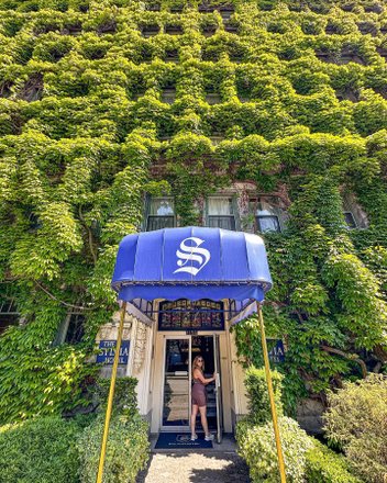
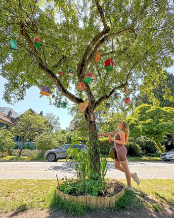
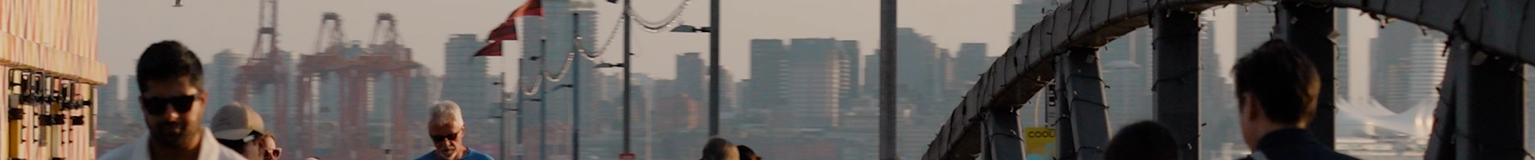
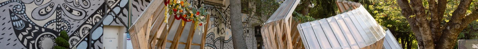
It’s bookended by the coastline and the downtown core, providing easy access to urban beaches, sprawling green spaces, and metropolitan amenities. Streets are tree-lined, highrises and heritage homes are neighbours, and public art
and parks abound.

This is
West End

image

ACTIVITY | FOOD & DRINK

Cycle Stanley Park’s seawall

West End Farmer's Market

Shopping & Entertainment

West End Farmer's Market

Stanley Park Pitch & Putt

Family & Kids

Stanley Park Pitch & Putt

Ask

me

about

our

hidden

gems

Ask me anything about West End!

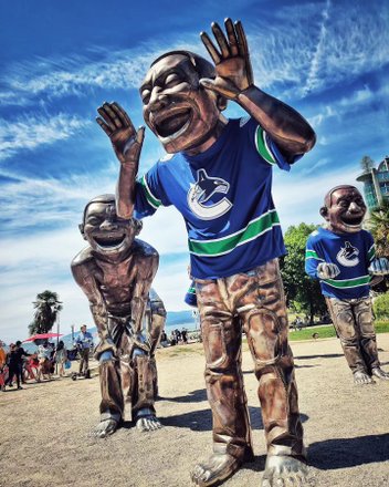
Pockets of culture to discover nearby

Kitsilano
+
Kitsilano
Robson Street
+
Robson Street
Chinatown
+
Chinatown
Davie Village
+
Davie Village
Coal Harbour
+
Coal harbour
Yaletown
+
Yaletown
Granville Street
+
Granville Street
Mount Pleasant
+
Mount Pleasant
Commercial Drive
+
Commercial Drive
Lower Lonsdale
+
Lower Lonsdale
South Granville
+
South Granville
Granville Island
+
Granville Island
West End
+
West End
Gastown
+
Gastown
Kerrisdale
+
Kerrisdale plant shop
East Van
+
East Van
UBC
+
UBC

Explore more of West End

Go where

you’re called

Walk score

Daily excursions do not require a car
  • 5 min to Robson Street

  • 19 min to Coal Harbour

  • 25 min to Granville Street

Bike score

Biking is convenient for most trips
  • See Vancouver Cycling Map

Driving

  • 2 min to Robson Street

  • 5 min to Coal Harbour

  • 25 min to Granville Street

Transit score

Many nearby public transportation options
  • See Translink Skytrain

  • See Translink Bus

  • 3 min to Robson Street