Geography
Know where you stand
Get to know the area! Ask me anything! 🗺
The City of Vancouver
Vancouver, known for its distinct geography, is framed by natural boundaries. To the north lies the Burrard Inlet, to the west English Bay, and to the south the Fraser River, with Burnaby marking its eastern border.

360,000 trees
grow in the city of Vancouver
Take in Vancouver’s vibrant, walkable neighbourhoods and effortlessly accessible nature. Spend the day cycling the seawall, admiring old growth trees in Stanley Park, or paddle boarding at Jericho beach.
Metro Vancouver
Nestled in BC’s southwest corner, Metro Vancouver comprises 21 municipalities, an electoral area, and one First Nations treaty. It borders Washington, USA to the south, the Fraser Valley to the east, Squamish-Lillooet to the north, and Vancouver Island to the west.
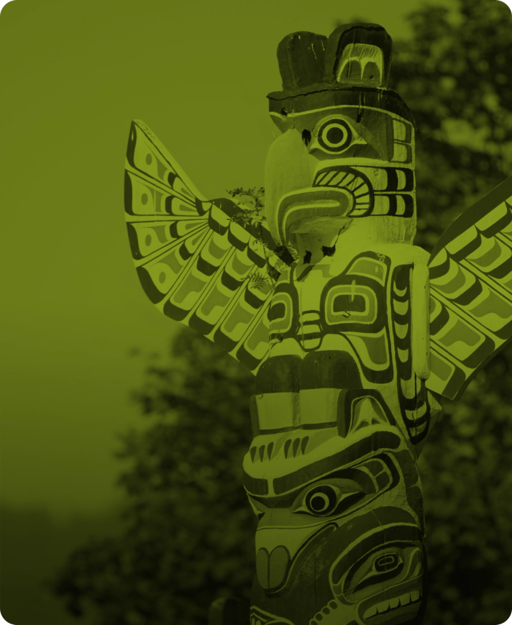
10 local First Nations
Traditional territories encompass Metro Vancouver
Stroll the quaint fishing village of Steveston, or sip delicious local craft beers along the BC Ale Trail in Port Moody. Enjoy sweeping mountain views on your way there by taking the SkyTrain—the world's longest automated transit system.
